|
267km from Opotiki
|
Welcome to Anaura Bay |
57km from Gisborne
|
|
Anaura Bay is one of the most beautiful of all the East Cape Bays. It is well worth the 7km drive. Steeped in history, Captain Cook berthed at Anaura where he was warmly welcomed by local Māori, after a speedy retreat from Poverty Bay! Anaura is a very safe haven with a flat golden sanded beach with great fishing. As you arrive at the bottom of the hill directly in front of you is the entrance to Anaura Bay Family Motor Camp. A left turn here will take you to Rangimarie Beachstay. Against a backdrop of wonderful native bush is a well formed DOC walkway. This 4.5km loop track is family friendly, taking about 2 hours. The potential of commercial banana growing is being investigated on the East Coast.
|
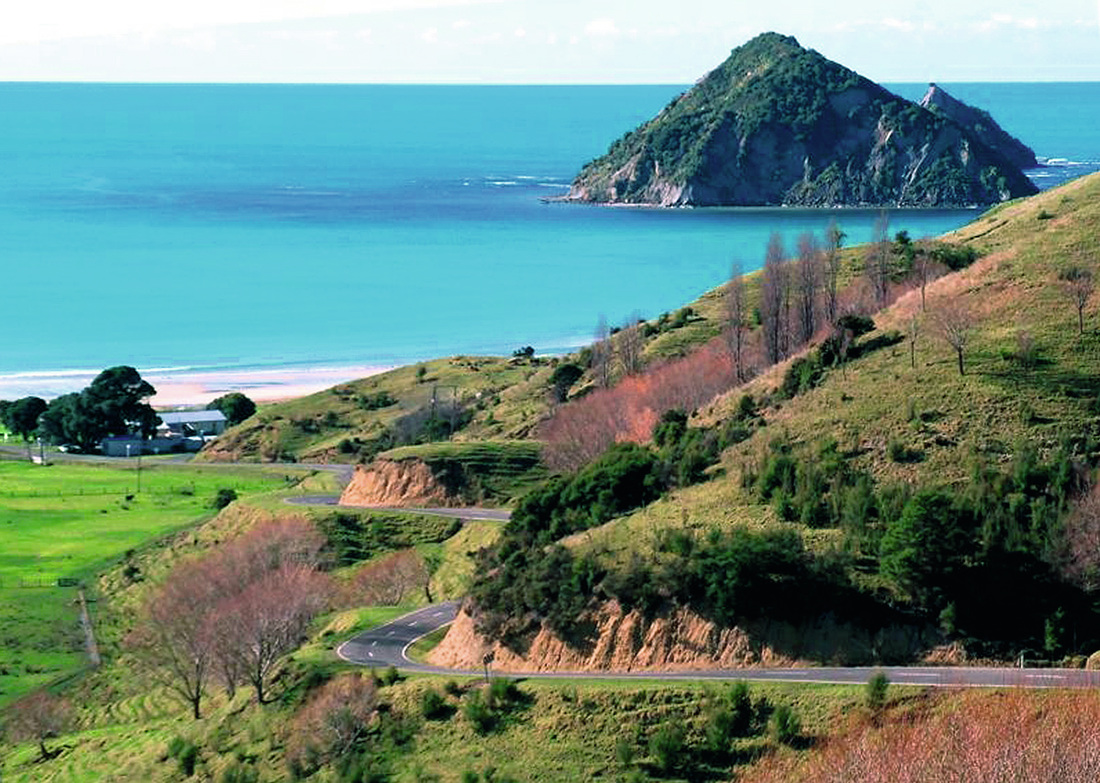
An idyllic view of the drive into
Anaura Bay – Gladys Dawson
|
|
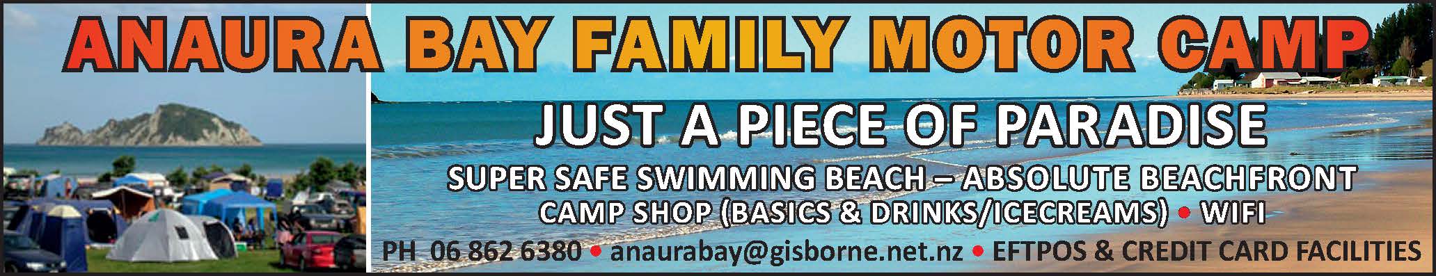
Anaura Bay Family Motor Camp
Absolute Beachfront. Powered & Tent sites. Dump Station avail. for our campers. Your friendly hosts Victor Jacobs & Kahu Brown. P: 06-862 6380 |
|
Rangimarie Beachstay
Hosted (B&B) & Self-contained (Cottage) Beachfront property 930 Anaura Rd. P: 021 633 372 E: [email protected] W: www.anaura-stay.co.nz |