|
KMS FROM OPOTIKI
|
KMS FROM WHAKATANE
|
|
18km
|
Ohiwa
|
32km
|
OHIWA HARBOUR SCENIC DETOUR
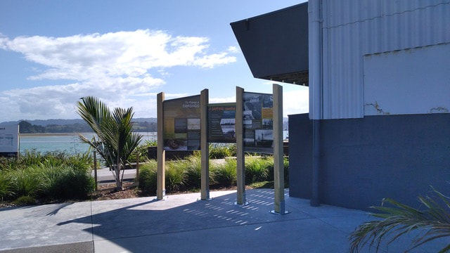
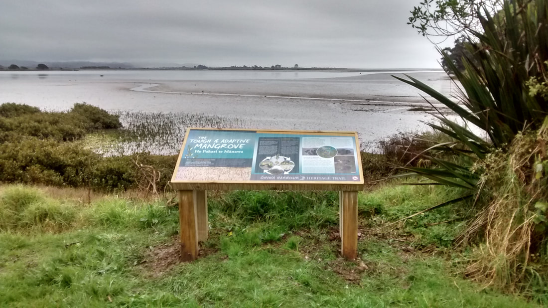
This route follows the harbour edge via Ruatuna Road, Ohiwa Loop Road, Reeve Road and Ohiwa Harbour Road and rejoins the Pacific Coast Highway (SH2) at the Waiotahe River Bridge. In olden days Ohiwa was ringed by Pā sites, probably owing to the accessibility of sea food, and was the scene of numerous tribal fights and massacres. Te Kooti died here in 1893 on Hokianga Island in the middle of the harbour. It is a sealed road which leads to many ideal stopping places for safe swimming, windsurfing, waterskiing, canoeing, sailing, fishing, boating, netting, picnics, etc. With low tides, much of the harbour is bared and cockles are easily obtainable, also mussels in season. On the knoll at the turnoff, occupying an area of 1 to 1.5 hectares are the most northerly New Zealand Black Beech trees, Nothofagus Solanderi. These were brought from the South Island as seedlings by Richard and Frances Kemp in 1882. The Ohiwa harbour is also the site of the most southerly growing Mangrove plants, and is the only harbour in the country administered by an act of Parliament.
At the end of Reeves Road, turn left on Ohiwa Harbour Road, which leads to the Ohiwa spit where you can enjoy a walk to the historic Onekawa Pa site within the Onekawa Te Mawhai Regional Park (see information under Walks page 15). A wharf, the Ferry Hotel, Post Office and school once existed near where the present channel now runs. The Ohiwa Spit, Whangakopikopiko Island and Ohiwa Beach, are major breeding grounds for shorebirds, including the endangered NZ Dotterel, Variable Oystercatchers, White Fronted Terns and Black Billed Gulls. The Eastern Bar tailed Godwits arrive from their breeding ground in Alaska in September and return in April each year. There are over 60 birds which live and breed around the Ohiwa Harbour. The Eastern Bay of Plenty Birds booklet is available from campgrounds and I-sites. Snapper and Kahawai can be caught at the harbour entrance channel as well as the ocean beach.
On the way to the Ohiwa Spit you will find Ohiwa Beach Holiday Park. A right turn at the Reeves Road and Ohiwa Harbour Road intersection, leads over the hill to rejoin the Pacific Coast Highway.
|
Ohiwa Beach Holiday Park
Ohiwa Harbour Rd, RD2, Motels, cabins, power & tent sites. Right on beach & harbour. P: 07-315 4741 E: [email protected] |
Continuing on SH2 on the right is Waiotahe Valley Road which travels some 15kms inland, another pleasant drive into the foothills of Te Urewera. Just after the turn off on the right you will find a Caravan Dump Station.
|
|