Explore the East Cape Guide | New Zealand | Opotiki
  • Welcome
  • About Us
    • Maps >
      • Whakatane Map
      • Opotiki Map
      • Gisborne Map
      • Wairoa Map
      • Napier Map
      • Coverage Area
    • Accommodation
    • Bars | Restaurants | Cafe's
    • Things To Do
    • Groceries
    • FAQ's
  • Locations
    • Whakatane - Opotiki - SH2 >
      • Whakatane
      • Ohope Beach
      • Ohiwa Harbour
      • Waiotahe Beach
    • Opotiki - Te Kaha - SH35 >
      • Opotiki
      • Opotiki Accommodation
      • Opotiki Activities
      • Opotiki Business Directory
      • Opotiki History
      • Opotiki Prime Industries
      • Opotiki Restaurants, Cafes, Bars
      • Tablelands | Hukuwai Beach
      • Tirohanga | Omarumutu
      • Opape | Torere | Hawai
      • Maraenui | Motu | Omaio
    • Te Kaha - SH35
    • Whanarua Bay - Waihau Bay - SH35 >
      • Whanarua Bay
      • Raukokore
    • Waihau Bay - Hicks Bay - SH35 >
      • Waihau Bay
      • Oruaiti Beach
      • Whangaparoa (Cape Runaway)
      • Potaka | Lottin Point
    • Hicks Bay - SH35
    • Te Araroa - Ruatoria - SH35 >
      • Te Araroa
      • Tikitiki
    • Ruatoria - Tokomaru Bay - SH35 >
      • Ruatoria
      • Mt Hikurangi
    • Te Puia Springs - SH35
    • Tokomaru Bay - SH35
    • Anaura Bay - SH35
    • Tolaga Bay - Gisborne - SH35 >
      • Tolaga Bay
      • Waihau Beach
      • Te Tapuwae o Rongokako
      • Tatapouri
      • Mokorori | Okitu | Wainui Beaches
    • Gisborne - SH2 >
      • Gisborne
      • Gisborne - Accomodation
      • Gisborne - Cafes & Restaurants
      • Gisborne - Activities
    • Makaraka - Young Nicks Head - SH2
    • Morere - Nuhaka - SH2
    • Mahia- SH2
    • Wairoa - SH2 >
      • Wairoa - Accommodation
      • Wairoa - Places to Eat
      • Wairoa - Hunting & Fishing
    • Waikaremoana
    • Napier - SH2
  • Waioeka Journey
  • Motu Trails
  • Contact Us
Picture
118km from Opotiki

Whangaparoa
(Cape Runaway)

216km from Gisborne
This is the boundary of the Ōpōtiki District and also of the local tribe, Te-Whānau-ā-Apanui. Take time out to learn some local history and stand where the warriors of the Tainui Canoe first landed at Whangaparaoa Beach. There is a good beach and fishing. Turn off by the School to the beach and small boat launching. The Cape itself cannot be reached by road. Opposite the School there is an Interdominational church. It is here that two famous canoes landed from Hawaiiki about 1350 A.D. – the Tainui and the Arawa.  Other canoes such as the Tauira and Tokomaru are also said to have called at Taungawhaka, this spot is where kumaras were supposedly first introduced to New Zealand. A restored old Pā site and meeting house are of historical interest at Whangaparaoa.
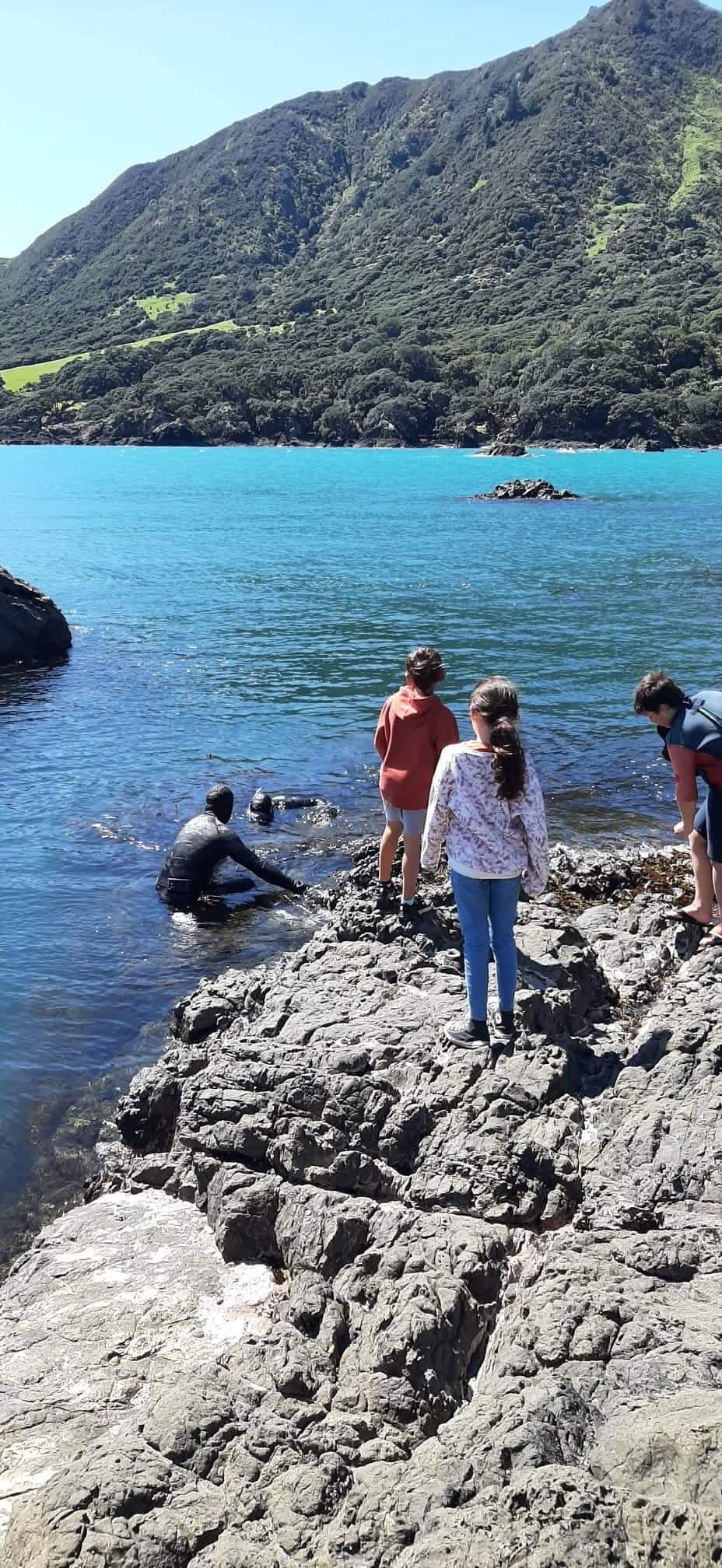
Picture
Tuatara Carving with Cape Runaway in the background
Picture

Opotiki

ETEC

Support

Accommodation
Things to Do
Places to Eat
About
Locations
Waioeka Journey
Contact
FAQ
Terms of Use
Picture
The Opotiki & District 10,000 club acknowledges the assistance of all those who have helped with photographs or content.
​New content material or suggested additions to this guide are welcomed. Please contact the Editor at P O Box 23, Opotiki.

All content of this guide is copyright to the Opotiki & District 10,000 Club Inc.and may not be used without prior consent.

© COPYRIGHT 2015. ALL RIGHTS RESERVED.

SidsWebDesignStudio
Picture
click to view the 2021 Guide
  • Welcome
  • About Us
    • Maps >
      • Whakatane Map
      • Opotiki Map
      • Gisborne Map
      • Wairoa Map
      • Napier Map
      • Coverage Area
    • Accommodation
    • Bars | Restaurants | Cafe's
    • Things To Do
    • Groceries
    • FAQ's
  • Locations
    • Whakatane - Opotiki - SH2 >
      • Whakatane
      • Ohope Beach
      • Ohiwa Harbour
      • Waiotahe Beach
    • Opotiki - Te Kaha - SH35 >
      • Opotiki
      • Opotiki Accommodation
      • Opotiki Activities
      • Opotiki Business Directory
      • Opotiki History
      • Opotiki Prime Industries
      • Opotiki Restaurants, Cafes, Bars
      • Tablelands | Hukuwai Beach
      • Tirohanga | Omarumutu
      • Opape | Torere | Hawai
      • Maraenui | Motu | Omaio
    • Te Kaha - SH35
    • Whanarua Bay - Waihau Bay - SH35 >
      • Whanarua Bay
      • Raukokore
    • Waihau Bay - Hicks Bay - SH35 >
      • Waihau Bay
      • Oruaiti Beach
      • Whangaparoa (Cape Runaway)
      • Potaka | Lottin Point
    • Hicks Bay - SH35
    • Te Araroa - Ruatoria - SH35 >
      • Te Araroa
      • Tikitiki
    • Ruatoria - Tokomaru Bay - SH35 >
      • Ruatoria
      • Mt Hikurangi
    • Te Puia Springs - SH35
    • Tokomaru Bay - SH35
    • Anaura Bay - SH35
    • Tolaga Bay - Gisborne - SH35 >
      • Tolaga Bay
      • Waihau Beach
      • Te Tapuwae o Rongokako
      • Tatapouri
      • Mokorori | Okitu | Wainui Beaches
    • Gisborne - SH2 >
      • Gisborne
      • Gisborne - Accomodation
      • Gisborne - Cafes & Restaurants
      • Gisborne - Activities
    • Makaraka - Young Nicks Head - SH2
    • Morere - Nuhaka - SH2
    • Mahia- SH2
    • Wairoa - SH2 >
      • Wairoa - Accommodation
      • Wairoa - Places to Eat
      • Wairoa - Hunting & Fishing
    • Waikaremoana
    • Napier - SH2
  • Waioeka Journey
  • Motu Trails
  • Contact Us